
Oil & Gas - Field infrastructure
What is it:
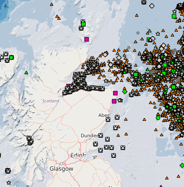
There are 5 layers on MS Maps NMPi that show:
- Wells - Surface Locations – that show the locations of the well head. The position will usually be the same on the platform and the seabed as most risers are vertical. For subsea wells the location is the seafloor location.
- Infrastructure – Surface – show platforms, FPSOs (Floating Production Storage and Offloading vessels), marker and mooring buoys and other structures that extend above the surface of the sea.
- Infrastructure – Subsurface - any reported object, hazard or obstruction on the seabed. May include anchors, manifolds, templates, berms, wrecks, wellheads (but not all) etc.
- Infrastructure - Safety Zones - shipping and fishing exclusion zones around surface infrastructure (statutory 500 m Safety Zone) and discretionary 500 m safety zones around some seabed infrastructure.
- Infrastructure – Freespans - reported hazards where a pipeline has a gap underneath it large enough to, for example, trap a fishing net Otter Board.
The positions are reported by the infrastructure operators twice a year as part of their regular reporting.
Links to Scotland's Marine Atlas:
Data originators:
This information page is part of the theme:
Oil and gas field infrastructure © Oil and Gas Authority
Links and Resources
| Type | Title | External link |
|---|---|---|
| Organisations | Oil and Gas UK | oilandgasuk.co.uk |