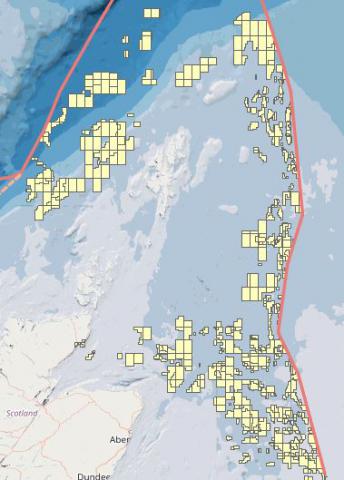
Oil & Gas - Licensing blocks and rounds
What is it:
The layers show blocks and part blocks subject to periodic oil and gas licensing rounds.
Additional oil and gas licensing (indicative and offered blocks) can be added to MS Maps NMPi by the user as a 3rd party WMS. When using the 'Add 3rd Party WMS Layer' function, click on the '?' for a list of WMS available.
Date of Data: current (WMS)
Links to Scotland's Marine Atlas:
Data originators:
This information page is part of the theme:

Oil and Gas licencsed blocks (OGA WMS) © OGA

