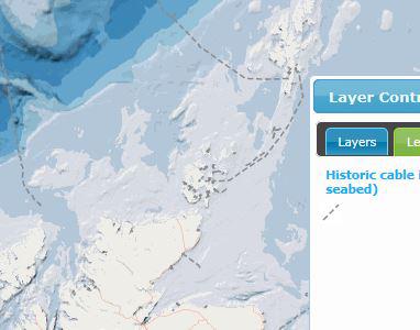
Historic cable (telecommunications and power) infrastructure
What is it:
Layer shows old / residual cable infrastructure “now out of use“ where possible telecommunications or power cable remnants may remain on the seabed. A Layer has been created using Ocean Wise and UKHO s57 data, to identify cables routes where there may be some remnant on the seabed, cross-checked with the Subsea Cables UK data set managed by the Sea Fish Industry Authority (KIS – ORCA data set) to ensure that current (in use) cables are excluded.
Date of Data: 2015 (date of layer compilation)
Links to Scotland's Marine Atlas:
Data originators:
This information page is part of the theme:

Historic cable (telecommunications and power) infrastructure © UKHO / Ocean Wise

