
Marine Scotland interactive Biotope Classification Layers
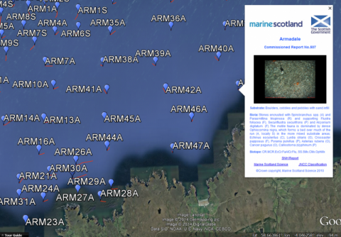
Videos and Images collected by Marine Scotland Science have been used by SNH to create a series of reports identifying the benthic epifaunal species and habitats captured in the footage. This data has been georeferenced and mapped by Marine Scotland. Interactive Google Earth Layers, available to download below, present the report information in a spatial context. Each feature in the Google Earth layers displays the relevant infomration for that location and the photo album for that survey.
This information page is part of the theme:
Biotope Google Earth Layer - Copyright © Marine Scotland