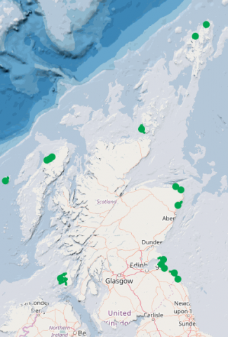
MEHRAs - Marine Environmental High Risk Areas
What is it:
MEHRAs are essentially an aid to passage planning. They were designated following the recommendations in the Report Safer Ships, Cleaner Seas. The data have been digitised by Marine Scotland from the 2006 Report.
Links to Scotland's Marine Atlas:
Data originators:
This information page is part of the theme:

Marine Environmental High Risk Areas (MEHRAs) © Scottish Government
Links and Resources
| Map Type |
Click title for metadata and licence information |
Date of data | View Map |
|---|---|---|---|
| Map Layers (NMPi) | Marine Environmental High Risk Areas (MEHRA) | 2022-12-08 | Access this map on NMPi |

