
West of Lewis Bathymetry 2010 and 2011
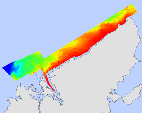
A bathymetric survey off the west coast of Lewis was conducted in 2010 by Marine Scotland. The area was revisited in 2011 and an additional survey took place at a connected site. Marine Scotland, the British Geological Survey team (BGS) and the Northern Lighthouse Board (NLB) were involved in the second survey. The data collected has been processed, tide corrected and cleaned. In the 2011 version both surveys have been combined. The bathymetric data has then been further processed by Marine Scotland Science to produce additional layers. The bathymetry, hillshade, slope, aspect and rugsity layers are available to download below. Additionally, the full package of layers is also available as a Google Earth download and some layers are available as 3D models (SD format).
Please note that an artifact can be seen in the ArcGIS versions of the 2011 survey data due to a technical error in the multibeam offsets.
Links and Resources
| Map Type |
Click title for metadata and licence information |
Date of data | View Map |
|---|---|---|---|
| Map Layers (NMPi) | Marine Directorate Survey Areas | 2010-07-21 | Access this map on NMPi |