
Facts and figures about Scotland's sea area (coastline length, sea area in sq kms)
How long is the coastline of Scotland?
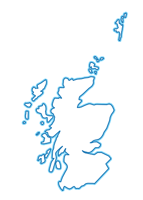
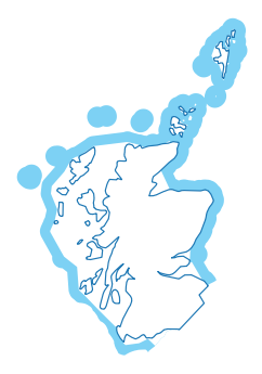
We estimate Scotland’s coastline to be 18,743 km in length along the high water line (“mean high water spring” or MHWS)
Coastlines are difficult to measure accurately because of the coastline paradox. All published figures are estimated, and will vary depending on the size of the ruler used to measure (the scale of the map).
Source: Ordnance Survey Boundary-Line
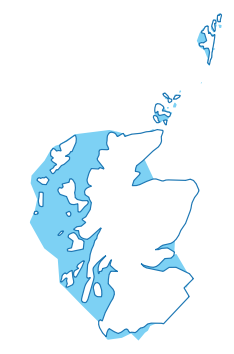
How big are Scotland’s seas?
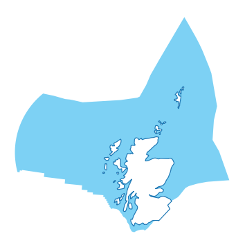
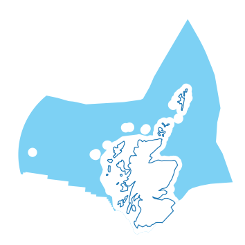
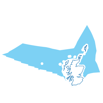
We estimate the area of Scotland’s seas to be 462,315 km2 using the definition of the “Scottish zone” in the Scotland Act 1998 (see table below for other definitions). Scotland’s seas are nearly six times larger than the land area of Scotland.
The figure above reflects the UK Exclusive Economic Zone (EEZ) adjacent to Scotland, which accounts for 63% of the UK EEZ.
The area of sea can vary depending on the map projection and coastline scale used for the calculations. A more detailed coastline can introduce variations and additional islands and skerries.
Sources: UKHO Maritime Limits | SEPA Transitional and Coastal Water Bodies | JNCC MPA Statistics.
How many islands does Scotland have?
We estimate Scotland to have over 900 islands, of which 118 are inhabited.
The most remote Scottish island is Rockall, which is around 300 km from Hirta (Hiort) in the St Kilda archipelago.
Source: National Records of Scotland (NRS)
Which part of Scotland is furthest from the sea?
We estimate the furthest point from the sea to be Glen Quoich near Braemar, which is around 65 km from the sea.
Source: Ordnance Survey Open Names.
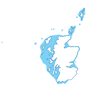
How deep are Scotland’s seas?
The deepest point in the Scottish zone is the Rockall Trough, with a depth of around 2,500m.
On the extended continental shelf beyond Rockall, the deepest point in the Scottish offshore region is over 3,000 m deep. (For comparison, the summit of Ben Nevis is 1,345 m above sea level.)
The average depth of the Scottish zone is around 600 m below sea level, or nearly 1 km (903 m) including the continental shelf limits.
Source: EMODnet 1/16 ArcMinute DEM
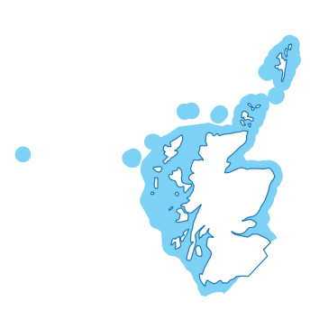
How many Marine Protected Areas are in Scotland? How much of Scottish seas are covered by Marine Protected Areas?
As of March 2022, there are 233 sites for nature conservation covering 228,118 km2 or 37% of the continental shelf area adjacent to Scotland. Sites can have overlapping designations.
- 58 Special Areas of Conservation (SACs) for European protected species and habitats.
- 58 Special Protection Areas (SPAs) for birds.
- 36 Nature Conservation Marine Protected Areas for marine species, habitats, and geological features.
- 16 Ramsar sites for wetlands of international importance.
- 65 Sites of Special Scientific Interest (SSSIs) for species, habitats, and geological features.
These figure does not include other types of MPA such as Historic MPAs, Demonstration & Research MPAs, or marine management areas such as fisheries-specific restrictions.
Source: JNCC and Scottish Government
How long are Scotland’s rivers and streams?
Scotland has more than 125,000 km of rivers and streams varying from small highland burns to deep, wide lowland rivers such as the Tay.
There is also a 220 km canal network in Scotland.
There are over 25,500 lochs in Scotland, with the Western Isles and Sutherland having the highest concentration of lochs.
Source: SEPA
Table 1: Sea areas of the waters adjacent to Scotland, by United Nations Convention on the Law of the Sea definitions
| Illustrative Map | Landward Boundary | Seaward Boundary | Description | Area (km2) |
|---|---|---|---|---|
 |
Mean High Water Spring (MHWS) | Mean Low Water Spring (MLWS) |
|
1,202 |
 |
MHWS | Baseline of the Territorial Sea (TS) |
|
34,920 |
 |
MHWS | 3NM from baseline |
|
48,710 |
 |
MHWS | 6NM from baseline |
|
62,212 |
 |
MHWS | Territorial Sea Limit (up to 12NM from baseline) |
|
90,400 |
 |
MHWS | Exclusive Economic Zone Limit (up to 200NM from baseline) |
|
462,315 |
 |
MHWS | Continental Shelf Limits (up to 350NM from baseline) |
|
617,643 |
 |
Baseline | Territorial Sea Limit |
|
55,480 |
 |
Territorial Sea Limit | Exclusive Economic Zone Limit |
|
371,915 |
 |
Territorial Sea Limit | Continental Shelf Limits |
|
527,243 |
 |
Schedule B of the The Exclusive Economic Zone Order 2013 | Schedule A of the The Exclusive Economic Zone Order 2013 |
|
8,014 |
NM = nautical mile
Table 2: Sea area, coastlines and depths of the Scottish Marine Regions and Offshore Marine Regions (to Continental Shelf Limits)
| Scottish Marine Area | Region | Area (km2) | Distance along MHWS (km)* | Deepest Point (m) | Shallowest Point (m) | Average Depth (m) |
|---|---|---|---|---|---|---|
| Forth and Tay | Inshore | 4,487 | 775 | 97 | MHWS | 39 |
| North East | Inshore | 3,153 | 307 | 224 | MHWS | 63 |
| Moray Firth | Inshore | 5,876 | 985 | 256 | MHWS | 50 |
| Orkney Islands | Inshore | 9,256 | 1,228 | 195 | MHWS | 65 |
| Shetland Isles | Inshore | 12,309 | 2,382 | 188 | MHWS | 93 |
| North Coast | Inshore | 2,443 | 544 | 124 | MHWS | 68 |
| West Highlands | Inshore | 10,420 | 3,656 | 322 | MHWS | 82 |
| Outer Hebrides | Inshore | 20,848 | 3,915 | 268 | MHWS | 88 |
| Argyll | Inshore | 12,044 | 2,918 | 320 | MHWS | 66 |
| Clyde | Inshore | 4,279 | 1,256 | 198 | MHWS | 58 |
| Solway | Inshore | 3,724 | 777 | 314 | MHWS | 52 |
| Long Forties | Offshore | 34,508 | n/a | 178 | 32 | 80 |
| Fladen and Moray Firth Offshore | Offshore | 40,261 | n/a | 248 | 35 | 111 |
| East Shetland Shelf | Offshore | 33,713 | n/a | 175 | 58 | 128 |
| North and West Shetland Shelf | Offshore | 28,676 | n/a | 623 | 72 | 254 |
| Faroe Shetland Channel | Offshore | 42,752 | n/a | 2,418 | 343 | 1,304 |
| North Scotland Shelf | Offshore | 28,820 | n/a | 1,073 | 15 | 213 |
| Hebrides Shelf | Offshore | 30,437 | n/a | 1,359 | 19 | 241 |
| Bailey | Offshore | 74,797 | n/a | 2,360 | 322 | 1,365 |
| Hatton | Offshore | 155,215 | n/a | 3,185 | 158 | 1,783 |
| Rockall ** | Offshore | 59,625 | # | 2,576 | MHWS | 1,386 |
| Total | 617,643 | 18,743 | 3,185 | MHWS | 903 | |
| Scottish Zone for comparison | 462,315 | 18,743 | 2,576 | MHWS | 611 |
* Derived from OS Boundary-Line and subject to the coastline paradox
** The Rockall assessment area also includes the inshore area within the territorial sea. The territorial sea around Rockall is part of the “Scottish inshore region” under the Marine and Coastal Access Act 2009, but is not defined as a Scottish Marine Region in the The Scottish Marine Regions Order 2015.
# The coastline of Rockall is not mapped at a suitable scale
Sources: OceanWise 1 ArcSecond DEM | EMODnet 1/16 ArcMinute DEM | Ordnance Survey Boundary-Line | UKHO Maritime Limits
Table 3: Sea areas of UK Countries and Crown Dependencies
| Description | Area (km2) | Approx. % |
|---|---|---|
| Scottish zone | 462,315 | 63% |
| English zone | 230,190 | 32% |
| Welsh zone | 30,778 | 4% |
| Northern Irish zone | 6,819 | 1% |
| UK Exclusive Economic Zone (Total) | 730,102 | 100% |
| Isle of Man territorial waters | 3,976 | |
| Guernsey territorial waters | 3,691 | |
| Jersey territorial waters | 2,965 |
Source: UKHO Maritime Limits