Shetland Islands Marine Region State of the Marine Environment Assessment

What is it: 

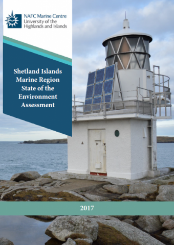
The Shetland Islands Marine Region State of the Marine Environment Assessment was published in 2017. It was developed by NAFC Marine Centre, on behalf of the Shetland Islands Marine Planning Partnership, with guidance from the Shetland Islands Marine Planning Partnership Advisory Group. The assessment provides a data baseline to support the development of a regional marine plan under the Marine Scotland Act (2010). Where this assessment findings differences with the national level assessment in Scotland’s Marine Atlas, these have been highlighted and explained.

Most maps from the assessment have been recreated on Marine Scotland Maps (NMPi) and can be viewed using the links in the Maps table below.

Map 2, maps 16 to 26 and map 34 were part of the assessment, but it wasn’t possible to make them available on NMPi because sharing the underlying spatial data to third parties was not permitted by the data owners. These maps can be viewed in the Shetland Islands Marine Region State of the Marine Environment Assessment, which can be downloaded from the Data Sources table below.
This information page is part of the theme: 
Shetland Islands Marine Region State of the Marine Environment Assessment, Copyright © NAFC Marine Centre UHI 2017

Links and Resources

Map Type Click title for metadata and licence informationsort descending Date of data View Map
Map Layers (NMPi) Map 1 - Geology (Bedrock) 2017-04-01 Access this map on NMPi
Map Layers (NMPi) Map 1 - Geology (Faultines) 2017-04-01 Access this map on NMPi
Map Layers (NMPi) Map 10 - Important Marine Species - Whales and Dolphins 2017-04-01 Access this map on NMPi
Map Layers (NMPi) Map 11 - Important Marine Species - Otters 2017-04-01 Access this map on NMPi
Map Layers (NMPi) Map 12 - Important Marine Species - Grey Seals 2017-04-01 Access this map on NMPi
Map Layers (NMPi) Map 12 - Important Marine Species - Harbour Seals 2017-04-01 Access this map on NMPi
Map Layers (NMPi) Map 12 - Important Marine Species - Protected seal haul-out sites 2017-04-01 Access this map on NMPi
Map Layers (NMPi) Map 12 - Important Marine Species - Seal densities at sea 2017-04-01 Access this map on NMPi
Map Layers (NMPi) Map 13 - Distribution of breeding bird colonies - Arctic and Common tern 2017-04-01 Access this map on NMPi
Map Layers (NMPi) Map 13 - Distribution of breeding bird colonies - Arctic and Great skua 2017-04-01 Access this map on NMPi
Map Layers (NMPi) Map 13 - Distribution of breeding bird colonies - Cliff nesting 2017-04-01 Access this map on NMPi
Map Layers (NMPi) Map 13 - Distribution of breeding bird colonies - Fulmar 2017-04-01 Access this map on NMPi
Map Layers (NMPi) Map 13 - Distribution of breeding bird colonies - Gannet 2017-04-01 Access this map on NMPi
Map Layers (NMPi) Map 13 - Distribution of breeding bird colonies - Gulls 2017-04-01 Access this map on NMPi
Map Layers (NMPi) Map 13 - Distribution of breeding bird colonies - Shag and Cormorant 2017-04-01 Access this map on NMPi
Map Layers (NMPi) Map 13 - Distribution of breeding bird colonies - Storm petrel 2017-04-01 Access this map on NMPi
Map Layers (NMPi) Map 14 - Distribution of wintering bird colonies - Eider ducks - Moulting (Aug-Sep) 2017-04-01 Access this map on NMPi
Map Layers (NMPi) Map 14 - Distribution of wintering bird colonies - Eider ducks - Winter (Nov-Mar) 2017-04-01 Access this map on NMPi
Map Layers (NMPi) Map 14 - Distribution of wintering bird colonies - Great northern diver 2017-04-01 Access this map on NMPi
Map Layers (NMPi) Map 14 - Distribution of wintering bird colonies - Long-tailed duck 2017-04-01 Access this map on NMPi
Map Layers (NMPi) Map 14 - Distribution of wintering bird colonies - Red-breasted merganser 2017-04-01 Access this map on NMPi
Map Layers (NMPi) Map 14 - Distribution of wintering bird colonies - Red-throated diver 2017-04-01 Access this map on NMPi
Map Layers (NMPi) Map 14 - Distribution of wintering bird colonies - Slavonian grebe 2017-04-01 Access this map on NMPi
Map Layers (NMPi) Map 15 - Basking sharks (public observations) 2017-04-01 Access this map on NMPi
Map Layers (NMPi) Map 27 - Intertidal sediment and supported habitat (Part 1/2) 2017-04-01 Access this map on NMPi

Pages