Annual Mean Surface Salinity
What is it:
The Temperature & Salinity Climatology dataset shows 30 year (1971-2000) temperature and salinity climatology for surface and near-bed regions of the NW European shelf seas.
This information page is part of the theme:

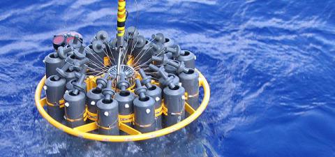
CTD - Copyright © marine Scotland
Links and Resources
| Map Type |
Click title for metadata and licence information |
Date of data | View Map |
|---|---|---|---|
| Map Layers (NMPi) | Annual Mean Surface Salinity (‰) - Climatology of the North-West European Continental Shelf for 1971–2000 | 1971-01-01 to 2000-12-31 | Access this map on NMPi |
| Type | Title | External link |
|---|---|---|
| Data Portals | Argo Floats | www.bodc.ac.uk |

