
Pentland Firth Bathymetry 2009
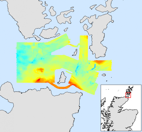
A bathymetric survey of the Pentland Firth was carried out by Marine Scotland Science in 2009. This survey was conducted using a multi-beam echosounder (Reson 7125). The system provides detailed information on the seabed bathymetry. This site was selected due to being identified as a potential site for marine renewable energy projects.
The data has been corrected to chart datumn and then processed to produce the bathymetry, slope and aspect models that can be downloaded below. The bathymetry layer provides the form and depth of seabed, whils the slope and aspect layers highlight the degree of slope and the direction of the gradient for each slope. A rugosity layer has also been produced which provides information on the roughness of the seabed. This can only be viewed in iView4D.
The bathymetric data has been processed further using ESRI ArcGIS to produce 2D rasters for use in GIS software and Google Earth. Fly-through videos of the 3D model can also be downloaded for use with iView4D software.
The raw XYZ data is also available to download for those who wish to use different software.
Links and Resources
| Map Type |
Click title for metadata and licence information |
Date of data | View Map |
|---|---|---|---|
| Map Layers (NMPi) | Marine Directorate Survey Areas | 2010-07-21 | Access this map on NMPi |