Base and background layers

What is it: 

The base and background layers give the data on MS Maps NMPi a locational context. Terrestrial and marine data sources are available:

There are six terrestrial layers:

  1. Positron - Tiles by CARTO
  2. Open Street Map
  3. Ordnance Survey GB Premium Stack to MM Topo
  4. Ordnance Survey GB Premium Raster Stack to MM Topo
  5. Ordnance Survey GB Premium Stack to MM Topo (Grey)
  6. Ordnance Survey GB Premium Raster Stack to MM Topo (Grey)

There are two marine data feeds, in the 'Aerial photography, hydrographic charts, and bathymetry (background layers)' layer group:

  1. Bathymetry (OceanWise Marine Themes DEM)
  2. Raster Charts XL (OceanWise) (Not visible at all scales) (geographical coverage variable)

These maps are supplied by a Web Service and are maintained by the separate data originators

This information page is part of the theme: 
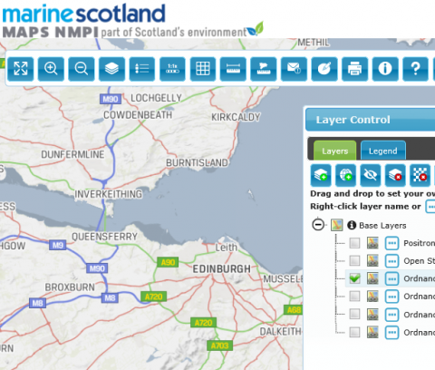
Ordnance Survey base layer screen shot © Ordnance Survey