
Habitats - Oil Spill Contingency Planning (OSCP)
What is it:
The habitats section of ‘Oil spill response and planning’ (OSCP) shows 1 layer.
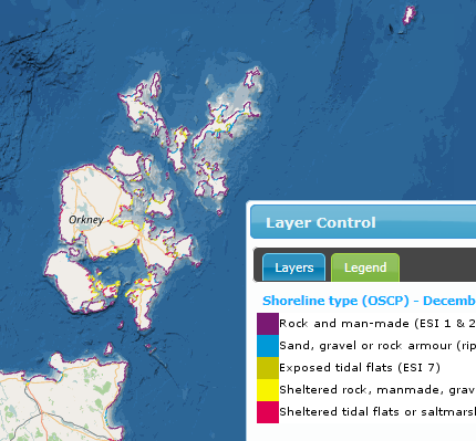
- Shoreline type (OSCP) – zoom restricted to about 1:50,000 - where the Scottish coastline has been classified into five categories using the IPIECA-IMO-OGP report (2012) (data from BP/RS Environmental Limited, Ordnance Survey, Defra / BGS (MAGIC)).
- Rock and man-made (ESI 1 & 2)
- Sand, gravel and rock armour (ESI 3, 4, 5 & 6)
- Exposed tidal flats (ESI 7)
- Sheltered rock, man-made or rip rap (rock armour) (ESI 8)
- Sheltered tidal flats or salt marshes (ESI 9 & 10)
Other habitat layers can be found in the Healthy & Biologically Diverse section. Add 'Habitat' to the search box on Marine Scotland Information or MS Maps NMPi.
This information page is part of the theme:
Shoreline type © various - see Data Originators